AIclearing
Optimize real-time construction site supervision.
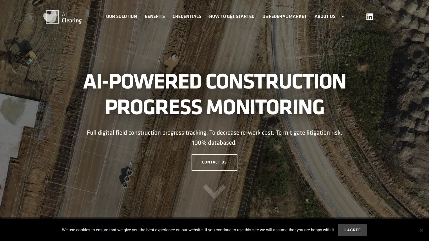
This AI enables autonomous and digital surveillance of the progress of construction sites in an autonomous and digital manner. AIclearing uses advanced machine learning technologies to generate detailed 3D reports covering 100% of the built surface, thanks to data collected by drones. Beyond drone capture, this solution integrates various formats of digital data to perform automated four-dimensional geospatial analyses. This level of automation significantly reduces reporting cycles, offering actionable insights via online interactive dashboards and PDF reports. Easily integrable with existing systems, AIclearing simplifies the work process in construction, optimizing time management and reducing supervision-related costs.
Features
Automated monitoring of construction projects
This feature enables real-time tracking of construction project progress through data captured by drones. The automation of the progress tracking significantly reduces reporting cycles, yielding substantial savings and optimizing the work processes of the project team.
Advanced 4D geospatial analyses
The advanced geospatial analysis features enable precise visualization and assessment of construction progress by generating detailed 3D reports. This approach enhances accuracy and the risk management, quickly identifying deviations and facilitating informed decision-making.
Seamless integration with existing systems
The software easily integrates into existing technological infrastructures, enabling smooth data management without disrupting ongoing operations. This ease of integration secures the transition toward digital ways of working, supporting an efficient and frictionless digital transformation.